Welcome to Map Maker
💡 This tool works best on a desktop or laptop — plotting waypoints with a mouse is much easier than on a touchscreen.
Plot your paddling route and generate a printable route card — perfect for planning a trip with friends or keeping a reference when you're out of signal.
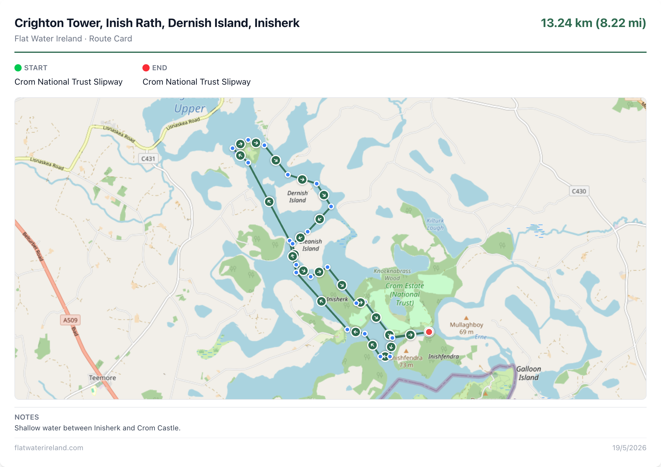
↑ This is what your finished route card looks like
- 1Click on the map to place waypoints along your route
- 2Drag waypoints to adjust, Ctrl+Z to undo
- 3Fill in route details and generate your route card
- 4Print or download — laminate it for the water!
Click on the map to plot waypoints along your route. Drag points to adjust. Ctrl+Z to undo.
Loading map...
Route Details
0 km
Total distance